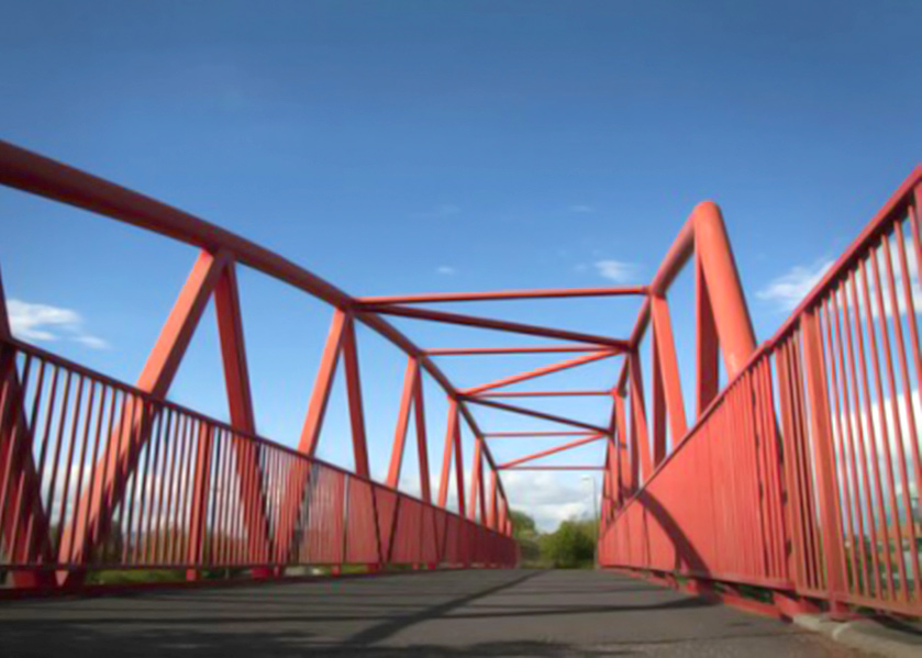
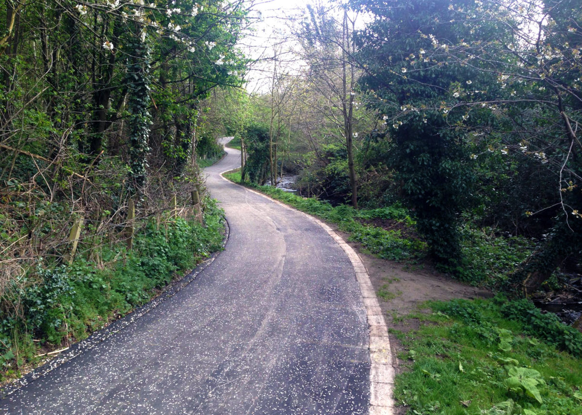
Edinburgh proudly boasts over 75km of off-street paths, many of which were once railway lines, for use by both cyclist and pedestrians.
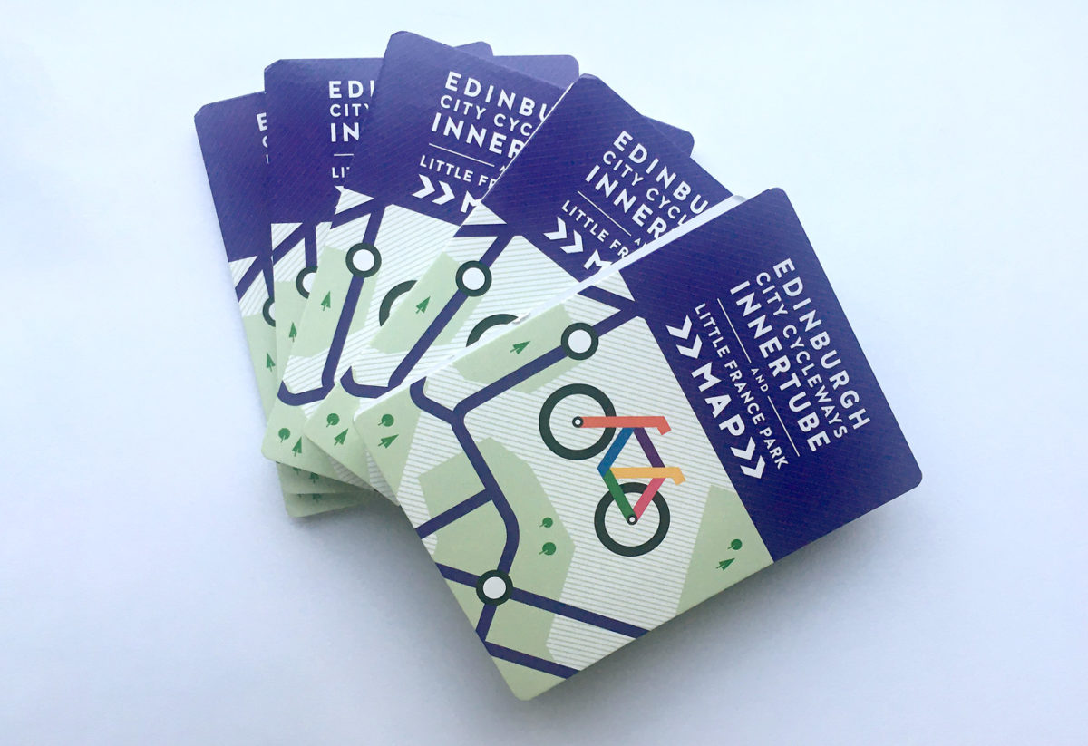
The network is broad and expands across the city. To help users make sense of this, the Edinburgh and Lothians Greenspace Trust (ELGT) helped to create the Innertube Map. Based on the iconic London Tube Map, the design gives a quick visual hit of the surprising extent of the routes.
The north Edinburgh paths are the old railway network which ran from Granton and Leith to Haymarket and the city centre, where they linked with the main railway network. The Leith-Portobello path, running to Portobello from Easter Road and Leith Links, follows in part the old Restalrig rail line before joining Portobello Promenade. There are further links which go out to Cramond and Davidson Mains.
The Meadows paths link Bruntsfield with the city centre across Bruntsfield Links and the Meadows, and Tollcross to Newington. The canal path takes the towpath from Tollcross to Ratho, while the Roseburn-Balerno path runs along the Water of Leith. There are also links out to Edinburgh Park from Balgreen which follow the new tram line
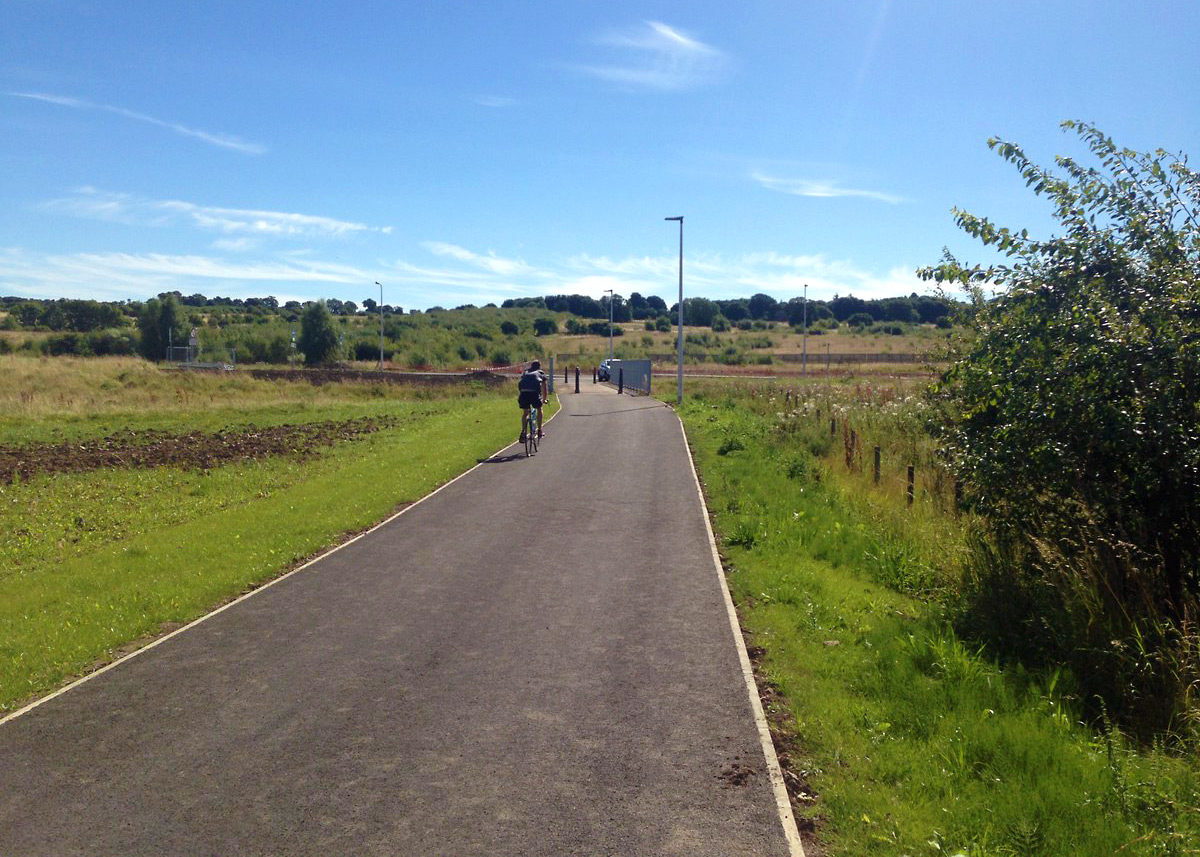
The network is regularly expanding due to the interest in active travel which includes Little France Park.
A new edition of the Innertube Map has recently been produced featuring Little France Park thanks to funding from Smarter Choices, Smarter Places and the Edinburgh & Lothians Health Foundation. This 45.7-hecatre (113-acres) site is bordered by the Royal Infirmary of Edinburgh hospital, housing developments and Craigmillar Castle Park, making it an important location for active travel, recreation and wildlife. The new map includes a detailed map of Little France Park, providing information on its active travel routes, facilities and wildlife areas as well as including the Edinburgh Innertube Map.
Download
You can download PDF versions of all available editons of the Innertube Map using the following links.
Edinburgh Innertube Map Little FranceIf you would like a paper copy of any of our pocket-sized Innertube Maps, please email info@elgt.org.uk.
Guide to the Innertube Map
- All routes shown on the Innertube Map are continuous, off-street traffic-free paths with dedicated cycle crossings at road junctions unless marked otherwise.
- The routes shown are not geographical but are as accurate as possible.
- Distances between exits are indicative and not to scale.
- For details of all Edinburgh’s cycle routes see edinburgh.gov.uk or spokes.org.uk.
- All the exits shown are step free, unless marked otherwise. Other exits with steps are not shown.
- All routes are shared with pedestrians – please cycle with respect.
- Signage varies along the routes and does not necessarily follow the logic of this map.
- To report faulty lights, missing signs, broken glass etc, please call 0800 23 23 23 or report online here.
- National Cycle Routes 1, 75, 76, 754 go through Edinburgh, using many of the routes on this map. See sustrans.org.uk for more details.
- Size and shape of the parks shown are indicative and not to scale. Not all city parks are shown – for a full list, see edinburghoutdoors.org.uk.